TAO completed its first major field project at the Puna Pau topknot
quarry between 2003 and 2004. The majority of the red scoria caps
that once adorned megalithic statuary were carved in this small volcanic
crater. Many of the topknots or pukao that were carved here were at
one point hoisted atop statues that reach several meters in height.
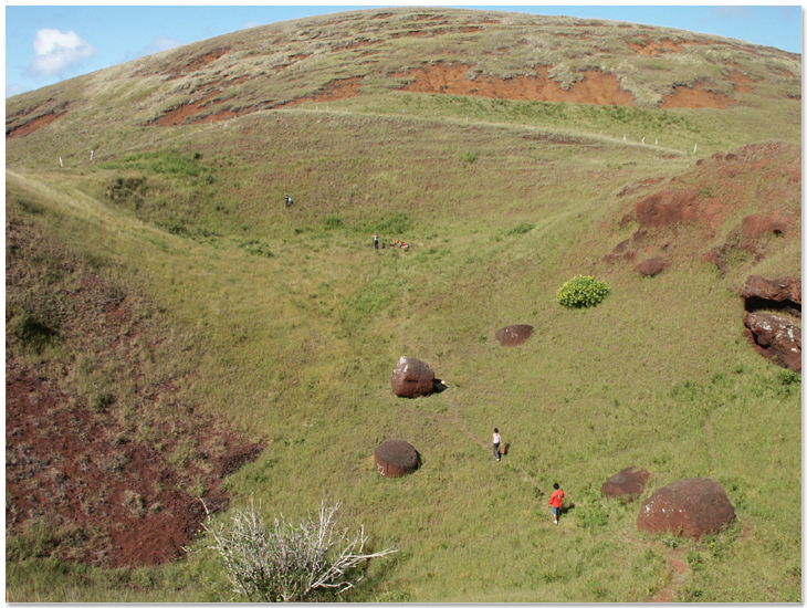
A few other pukao never reached their destinations, and some even
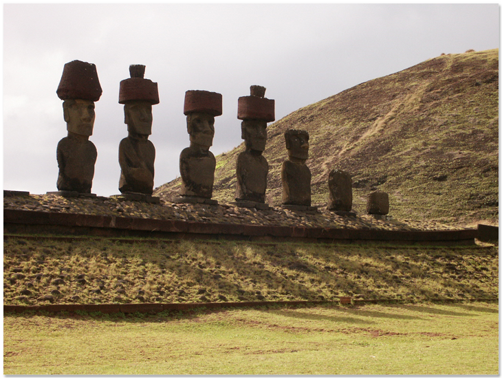
remain in the quarry site today. The only pukao that remain atop statues
today are reconstructed examples. As statues toppled on the island,
these massive topknots, sometimes reaching more than two meters in
width and two meters tall, came crashing down as well.
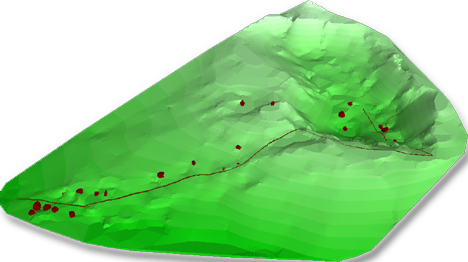
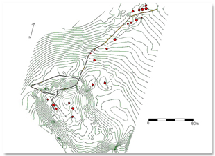
Students who participated in the Puna Pau Project began by mapping
the terrain and pukao locations in the crater and surrounding areas.
The only survey instrument was a theodolite left on the island decades
before by archaeologist William Mulloy.
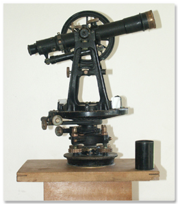
The students created a detailed two-dimensional map using the theodolite
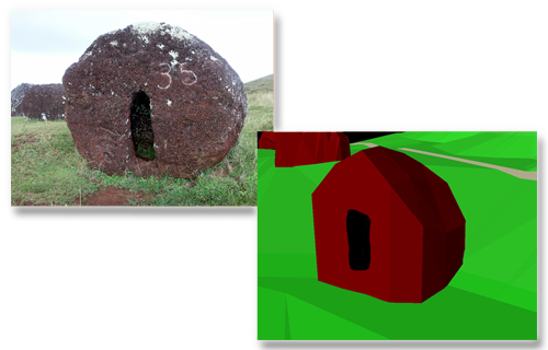
and modern GIS software. The project also carefully photographed and
documented each individual pukao.
With tape measures and digital
cameras, students measured and described the details and condition
of the topknots. Their ultimate goal was to reproduce the site in
digital format for conservation and research purposes. Upon gathering
data and completing the preliminary mapping exercise, students took
the project a step further to create three dimensional digital models
of the terrain and each individual pukao. The complete report for
the project was co-authored by all participating students and published
in the Rapa Nui Journal.